


Take a wrong turn in downtown Boston and the city seems to rearrange itself behind you. A street bends without warning, changes its name, feeds into something called a square, and sends you back toward the place you just left.
The usual explanation is that Boston paved over cow paths. It is repeated so often that it sounds like established history. The better explanation involves a small peninsula, private property, enormous amounts of fill and several towns that became Boston after laying out streets of their own.
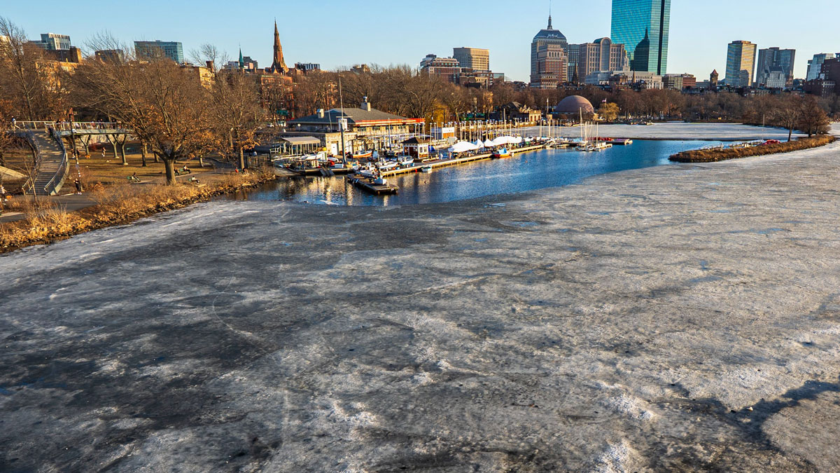
Boston’s streets started on a much smaller piece of land
When English colonists established Boston in 1630, the Shawmut Peninsula was connected to the mainland by a narrow strip called Boston Neck. The route across it roughly followed present-day Washington Street toward Roxbury. There wasn’t much room to leave town.
The National Park Service describes the original peninsula as a place of three prominent hills, wetlands and estuaries. This was Massachusett land long before English settlement. Much of the ground that now seems inseparable from downtown Boston was still water.
Early streets connected the places colonists needed to reach: houses, meetinghouses, markets, docks and fresh water. Routes fitted around slopes, shorelines and property. What served a small port town did not anticipate delivery trucks or someone trying to make a left turn on the way to a parking garage.
The cows had other things to do
Cows and sheep really did graze on Boston Common. The city eventually banned grazing there in 1830. That history explains why livestock belongs in the story, but it doesn’t establish that wandering cattle determined the street plan.
Ralph Waldo Emerson helped the idea stick. As Boston.com recounts in its examination of the cow-path story, he wrote, “we say the cows laid out Boston.” The article’s historians point instead to fresh water, property boundaries and the original terrain as practical reasons for the early routes.
A path used by animals might also have been used by people. That possibility is a long way from explaining an entire city. The cow story survives because it is easier to remember than the history of somebody else’s property line.
Boston made more land and gave it different streets
Boston spent centuries creating room to grow. Hills were cut down, tidal areas were filled and the shoreline moved outward. The Leventhal Map & Education Center’s account of landmaking describes both the physical work and the financial incentive: new ground could become valuable property.
The result is particularly easy to see in Back Bay. Its rectangular blocks look different from the older streets downtown because they came from a different process. Planners could set out a street system for land being created, rather than fit roads around an existing waterfront town.
Arthur Gilman produced his Back Bay plan in 1856. Filling began the following year and continued for almost four decades, according to the Friends of the Public Garden’s history of Commonwealth Avenue Mall. The broad central mall gave the new neighborhood a long, planted space between its roadways.
Arlington, Berkeley, Clarendon, Dartmouth, Exeter, Fairfield, Gloucester and Hereford streets even proceed alphabetically. Commonwealth Avenue, Newbury Street and Boylston Street run alongside one another. For a few blocks, Boston gives you a system you can remember.
Boston also bought into other towns’ street maps
Today’s city includes communities that developed separately. The city’s annexation timeline records Roxbury joining in 1868 and Dorchester in 1870. Charlestown, Brighton and West Roxbury followed in 1874. Hyde Park joined in 1912.
Those places already had roads, town centers and property boundaries. Becoming part of Boston did not erase them or require their streets to meet a Back Bay grid. A trip across the city can take you through several different systems without a sign announcing the change.
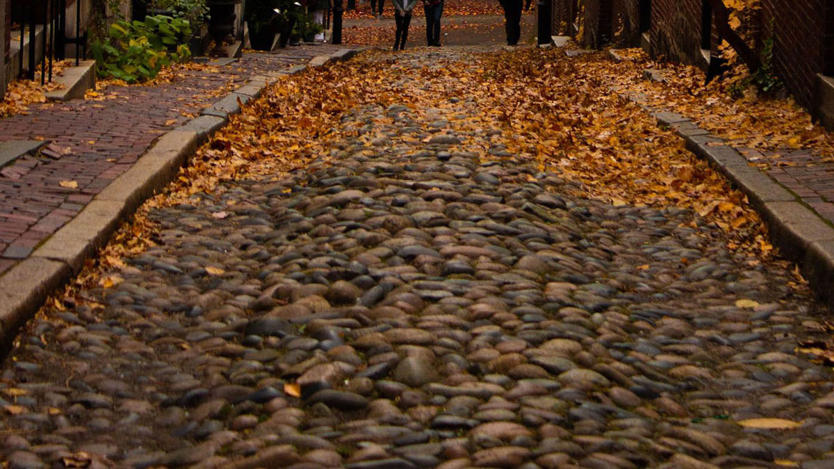
Later traffic rules added another complication. One-way streets and turn restrictions can make a short route on foot a much longer trip behind the wheel. Knowing where a place is and knowing how to drive there are separate accomplishments.
To see the difference without dealing with either problem, start on foot in Back Bay. Follow its rectangular blocks, then cross toward Beacon Hill’s older, narrower streets. The change in the map is right under your shoes.
