

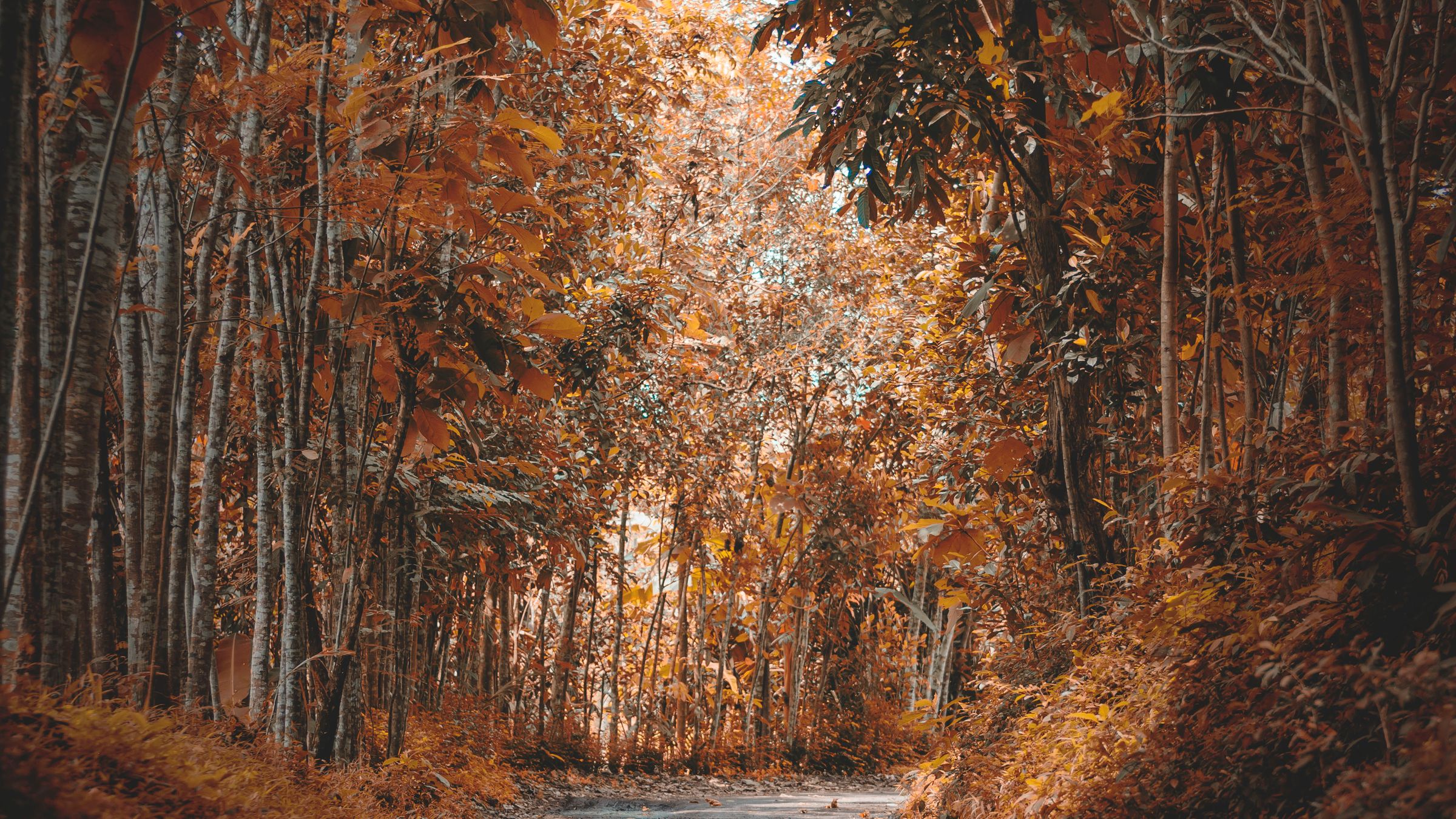
The Massachusetts Department of Conservation and Recreation says leaf-peeping season starts around October 1, and that peak color often coincides with Columbus Day, also called Indigenous Peoples’ Day. That is the state’s own guidance for its parks, and it is a statewide line, not a promise that every hillside turns on the same weekend.
Western and central Massachusetts often go first. Closer to Boston, the same trees can lag. The timing shifts from year to year with the weather, so the useful move is to treat early October as the start of the window, not a single peak day you can circle in advance.
By late November, the color is usually gone. If you are reading this after the leaves are down, the same places are still worth knowing for next fall, and our guide to Boston through the seasons is a better place to see what the city is doing right now.
In and just outside Boston
The Arnold Arboretum of Harvard University is the easiest serious walk inside the city. The official site lists 281 acres at 125 Arborway in Jamaica Plain, with more than 15,000 accessioned plants. The landscape is free and open every day, from sunrise to sunset. The visitor center is listed as open 10 a.m. to 4 p.m. daily. Free parking is listed along the Arborway, Flora Way and Walter Street. It is a collection, not a wilderness, which is why the fall color there is a mix of species instead of one hillside of the same tree.
Just south of the city, the Blue Hills Reservation is a DCR park with a different kind of view. The state’s foliage page recommends Houghton’s Pond Loop as an easy walk, and a one-mile hike up Great Blue Hill. The department puts that summit at 635 feet and calls it the highest of the 22 hills in the chain, with a view over the metropolitan area. The reservation address listed for visitors is 725 Hillside Street in Milton.
North of the city, Middlesex Fells Reservation is another DCR property, with parking listed at 4 Woodland Road in Stoneham. The state’s own suggested fall walk there is the Rock Circuit Trail, which it describes as a difficult loop of about four miles, with an easier connector for a shorter route. Start from a posted trailhead and give yourself enough daylight. The days get shorter as the month goes on, and DCR itself flags that in its foliage advice.
If you want to stay in town, Boston Common and the Public Garden, and the paths along the Charles, are the usual in-city walks. They will not look like a Berkshire overlook, but they are the places you can reach without a car. For streets that photograph well even when the trees are not the point, we already gathered four of the cutest streets in Boston.
Farther west, if you want a bigger view
If you have a day and want elevation, DCR points people to Wachusett Mountain State Reservation in Princeton, at 345 Mountain Road. The department lists the peak at 2,006 feet and notes that you can drive to the summit. It also tells visitors to check for road closures when the mountain fills up. A daily parking fee is charged in season, through the date the summit parkway closes, and the posted rates on the foliage page are $5 for a Massachusetts resident and $20 for a nonresident.
Walden Pond State Reservation, at 915 Walden Street in Concord, is closer than the central highlands and fills early. DCR warns that the park can close on busy weekends, and it tells people to go early and plan ahead. The official suggested walk is the Pond Path, about 1.7 easy miles around the water, including the site associated with Henry David Thoreau.
Farther west, the same DCR page lists places such as Savoy Mountain State Forest in Florida, the Ashuwillticook Rail Trail through Cheshire, Lanesborough and Adams, and Benedict Pond at Beartown State Forest in Monterey. Those are real state parks and a rail trail, not a secret list, and they are the ones the state itself puts forward when the color moves inland first.
Some of those parks charge parking fees in season, and restrooms are not guaranteed at every site. DCR’s own planning notes are simple: go earlier or later in the day if lots fill, and be off the trail before dark. That is the whole trick. You do not need a new map of New England. You need a date that matches the part of the state you are actually driving to, and a walk you can finish before the light goes.